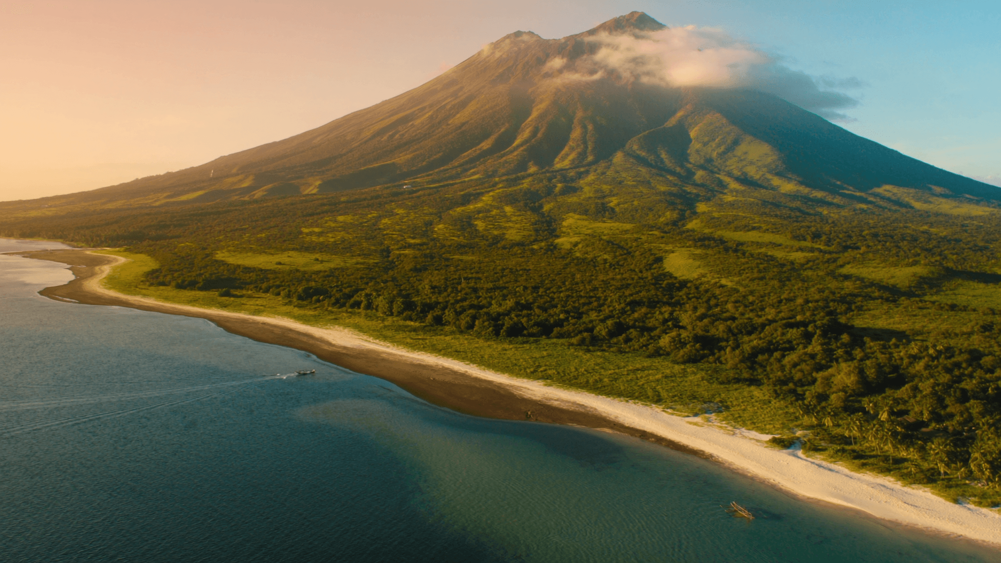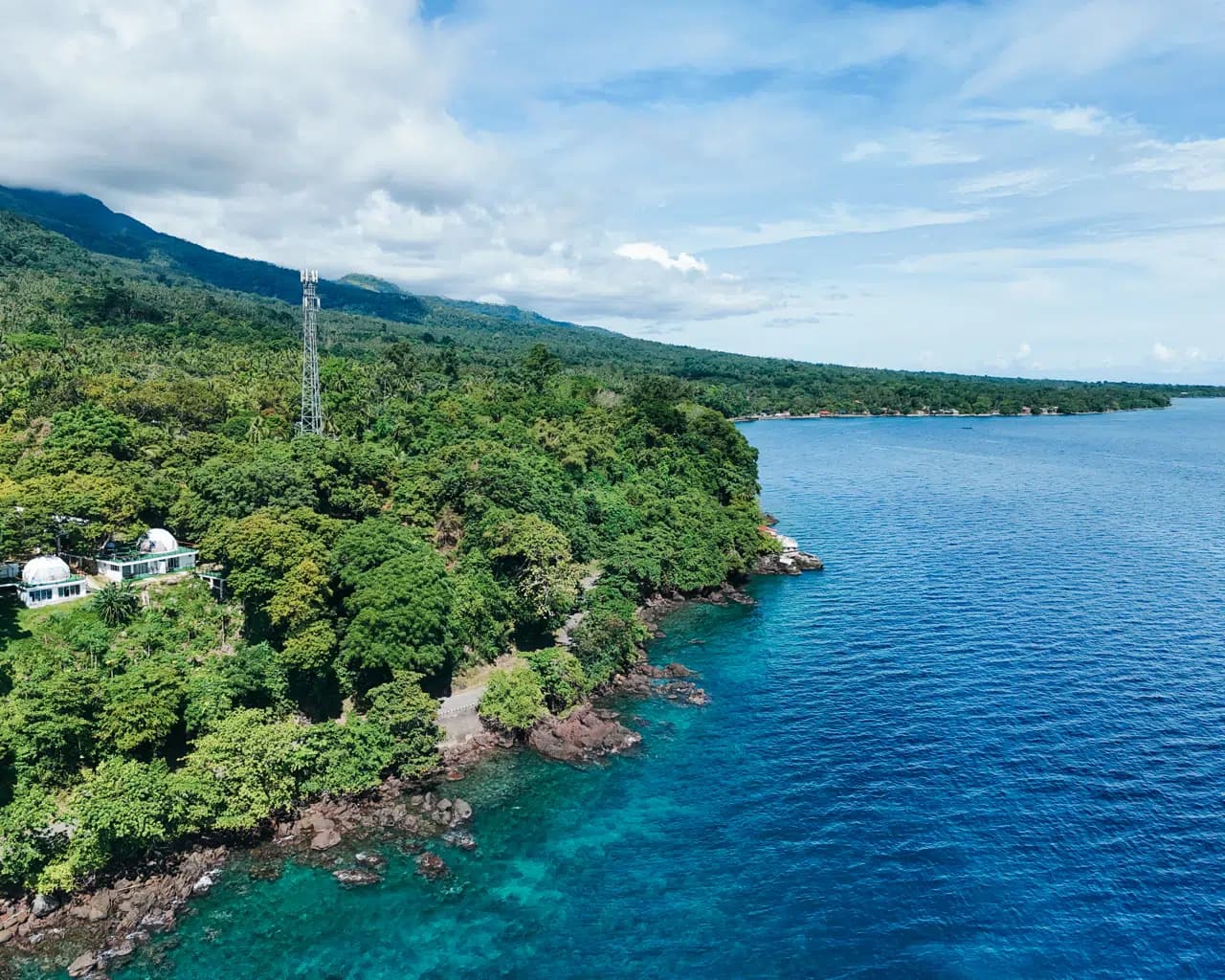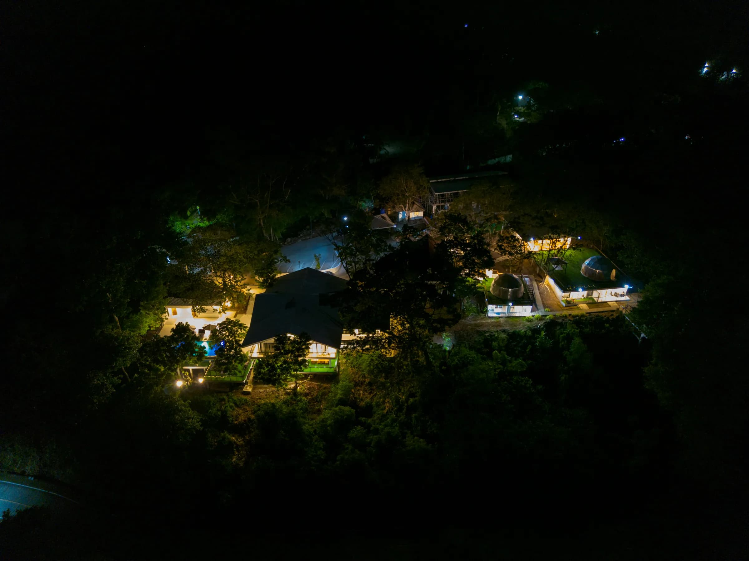
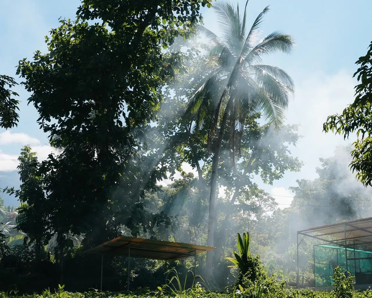
Every guest who looks up from our terrace eventually asks the same thing. Mt. Hibok-Hibok fills the view behind the resort — 1,332 metres of green, active volcano — and the question is always some version of can you climb it?
You can. And we'd rather tell you the truth about it than sell you a day out.
This is a hard hike, not a walk. Five to six and a half hours of steep, muddy, root-tangled trail on an active volcano, with a registered guide and a permit that are both legally required and genuinely sensible. People fall over. People turn back. People also come down glowing, having stood on a ridge with the whole Bohol Sea below them and Bohol itself on the horizon.
Here's everything you need to decide which of those you'll be.
Written by the family at Txaleta de Camiguin. Last updated August 2026.
The short answer
- Height: about 1,332 m. It's an active volcano — it last erupted destructively in the early 1950s.
- Duration: roughly 5½ to 6½ hours round trip, depending on pace and conditions.
- Difficulty: hard. Steep, muddy, slippery, rope-assisted in sections. Not a beginner hike.
- Required: a permit and an accredited guide. Register at the DENR-PENRO office near Mambajao Municipal Hall before you go.
- Reported fees: guiding around ₱1,200 per group of up to three, plus an environmental fee around ₱200 per person per day; some sources cite a permit from about ₱500 per person. Verify current rates when you book — these figures come from published trip reports, not a price list.
- Start: pre-dawn. The summit clouds over as the day warms.
- Best months: February to May, the driest and least slippery.
Is it worth it?
Honest answer: for the right person, absolutely. For most visitors, no — and that's fine.
Camiguin has an unusual amount to offer someone who never sets foot on the volcano. The springs, waterfalls, sandbar and ruins are the reason most people come, and they're all easy. Hibok-Hibok is the one genuinely demanding thing on the island.
Climb it if you hike regularly, you're comfortable with steep and slippery ground, and standing inside the crater of an active volcano is the kind of thing that makes a trip for you.
Skip it if this would be your first real hike, if you're travelling with young children, if you have knee trouble, or if your holiday is three days long — it will eat one of them entirely, plus most of the following morning.
There's also a middle path most people don't know about, and we cover it at the bottom.
What you're actually climbing
Hibok-Hibok is the youngest and most active of Camiguin's volcanoes, and the reason the island is called the Island Born of Fire. Its most destructive modern eruption came in the early 1950s and reshaped both the island and its population. It has been quiet since, and is monitored — but "active" is not a marketing word here, it's a classification.
The mountain sits inside the Mounts Timpoong–Hibok-Hibok Natural Monument, a roughly 2,228-hectare protected forest that was declared an ASEAN Heritage Park in 2015. That protected status is why the permit and the accredited guide exist, and why the fees you pay go somewhere useful. The same forest holds the island's three endemic bird species — you'll hear them on the way up.
At the top: a crater, often holding a small lake, and on a clear morning a view across the Bohol Sea to Bohol itself, with the whole of Camiguin laid out below.
Permits and guides: how it actually works
Both are mandatory. This isn't a formality you can skip by starting early from a different road.
Where to register: the DENR-PENRO office near Mambajao Municipal Hall. You register there and go up with an accredited guide. Arrange it in advance rather than turning up on the morning — guides aren't standing by, and the office keeps office hours.
What it reportedly costs:
| Item | Reported cost |
|---|---|
| Guiding fee | ~₱1,200 per group (up to 3 people) |
| Environmental fee | ~₱200 per person per day |
| Permit (some sources) | from ~₱500 per person |
We're deliberately hedging these. The figures circulate in trip reports of varying age, they don't fully agree with each other, and Philippine protected-area fees change without announcement. Confirm with the tourism office or DENR when you book — and be suspicious of any guide, including this one, that quotes a Hibok-Hibok fee as settled fact.
Why the guide isn't a formality: the trail is genuinely easy to lose in cloud, the ground is unstable in places, and your guide knows which sections need the ropes and when the weather is turning. They're also, in our experience, excellent company — many of them have spent years on this mountain and know its forest, its birds and its moods. Sending climbers their way is part of how tourism here supports the people who look after the place; more on that on our community page.
The Itum trail
The commonly used route starts from Itum, in Barangay Baylao, Mambajao — the same side of the mountain as the protected-area visitor centre. An older route from Yumbing also exists.
What the trail is like, honestly: steep almost from the beginning. Rainforest, roots, loose volcanic soil, and sections where you'll be using your hands and fixed ropes. It is described consistently by people who've done it as tough, muddy and slippery — and those reports are from hikers, not from people looking for an excuse.
Expect to be wet. Expect to fall over at least once. Expect the last stretch to be the steepest.
Timings: most parties are moving before dawn, summit in the mid-morning, and back down by early afternoon. Round trip commonly runs 5½ to 6½ hours, sometimes longer in poor conditions or with a slower group.
When to climb
February to May. The dry season gives you the two things that matter: a trail that isn't a mudslide, and a summit that isn't inside a cloud.
Outside those months it's still done, but your odds of a view drop and your odds of a genuinely unpleasant descent rise. In the wettest stretch — November to January — we'd steer you toward the springs instead.
Whatever the month, start before first light. The summit reliably clouds over as the day heats up. A late start is the single most common reason people climb an active volcano and see nothing from the top. Our best time to visit Camiguin guide covers the seasons in full.
What to bring
- Proper footwear with grip. Trail shoes or boots. Not sandals, not fashion trainers — this is the one piece of kit that decides your day.
- At least 2–3 litres of water per person. There's nothing on the mountain.
- Packed breakfast and snacks. We send guests off with food; you'll be moving before any kitchen normally opens.
- Long trousers and sleeves. Roots, branches, and leeches on the lower sections in wet weather.
- Rain shell. Mountain weather does what it likes regardless of forecast.
- Gloves. Genuinely useful for the roped sections.
- A dry bag for phone and camera.
- A head torch for the pre-dawn start.
Leave behind anything heavy. You'll regret every extra kilo by the halfway point.
The middle path: forest without the summit
Here's the thing almost nobody tells visitors, and it's the most useful advice in this guide.
Most of what makes Hibok-Hibok's slopes wonderful is in the lower forest, not on the summit. The protected-area forest near the visitor centre and along the Itum forest-edge road is where the endemic birds are, where the rainforest is at its most beautiful, and where you can walk gently for an hour or two at dawn without a rope in sight.
There's also the Walkway to the Old Volcano at Bonbon on the other side of the island — a paved Stations-of-the-Cross climb with the sea unrolling below you. Moderate uphill, no permit, and one of the best views-per-effort on Camiguin.
If you want the volcano in your trip without giving it a full day and a set of bruised shins, take one of those instead. We'd say that to a friend, so we'll say it to you.
Frequently asked questions
How hard is the Mt. Hibok-Hibok hike?
Hard. It's a steep, muddy, root-tangled trail with rope-assisted sections, taking roughly 5½ to 6½ hours round trip. Hikers consistently describe it as tough and slippery, and falling over at least once is normal. It is not a beginner's hike and not suitable for young children.
Do you need a permit and a guide to climb Hibok-Hibok?
Yes, both are required. Register at the DENR-PENRO office near Mambajao Municipal Hall and climb with an accredited guide. Arrange it in advance rather than on the morning — this is a protected area and the requirement is enforced.
How much does it cost to climb Mt. Hibok-Hibok?
Reported figures are around ₱1,200 for the guiding fee per group of up to three, plus roughly ₱200 per person per day environmental fee, with some sources citing a permit from about ₱500 per person. These come from published trip reports of varying age and don't fully agree — confirm current rates with the tourism office or DENR when you book.
How long does it take to climb Hibok-Hibok?
Most parties take about 5½ to 6½ hours round trip, longer in poor conditions or with a slower group. Plan for a pre-dawn start, a mid-morning summit and an early-afternoon return — and expect to be tired for the rest of the day.
How high is Mt. Hibok-Hibok?
About 1,332 metres. It is the youngest and most active of Camiguin's volcanoes, last erupting destructively in the early 1950s, and sits within the Mounts Timpoong–Hibok-Hibok Natural Monument, an ASEAN Heritage Park.
What is the best time of year to climb Hibok-Hibok?
February to May, the driest months, when the trail is least slippery and the summit is most likely to be clear. Whatever the month, start before first light — the summit clouds over as the day warms, and a late start is the most common reason climbers get no view.
Is Hibok-Hibok safe to climb?
It's monitored and routinely climbed with accredited guides, but it is an active volcano and the trail itself carries real risk from steep, slippery and unstable ground. The permit and guide requirements exist for good reason. Anyone with knee trouble or no hiking experience should choose a different day out.
What should you bring to climb Hibok-Hibok?
Shoes with genuine grip, 2–3 litres of water per person, packed food, long trousers and sleeves, a rain shell, gloves for the roped sections, a dry bag and a head torch for the pre-dawn start. There are no facilities on the mountain.
Can you see the crater at the top of Hibok-Hibok?
Yes — there's a crater at the summit which often holds a small lake, and on a clear morning the view stretches across the Bohol Sea to Bohol itself. Cloud cover is the main obstacle, which is why an early start matters more than anything else.
Is there an easier way to experience Hibok-Hibok?
Yes. The lower protected forest near the visitor centre and along the Itum forest-edge road offers the best of the rainforest and the island's endemic birds with an easy dawn walk. The Walkway to the Old Volcano at Bonbon is another option — a moderate paved climb with an excellent sea view and no permit needed.
Come home to Camiguin
If you're climbing, we'll set it up properly: the guide and permit arranged in advance, breakfast packed the night before, a pre-dawn departure, and a Spanish latte and a cold pool waiting when you come back down on unsteady legs. It's one of the more satisfying arrival-backs we get to witness.
And if you read the honest parts above and decided against it — good. That's what they were for. There's a spring in the forest, a sandbar at sunrise and a terrace with your name on it.
Browse our rooms, see what else fills your days in our experiences, or book your stay direct. Message us on WhatsApp, call +63 917 582 2277, or visit us at Purok 6, Puting Balas, Mambajao, 9100 Camiguin.
Come for the views. Stay for the feeling. Welcome home.
More Than a Resort. A Place to Belong. — Txaleta de Camiguin